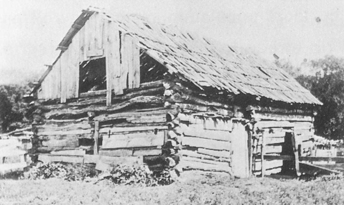
Newton County Photographs
This page contains photographs of the county - please share with us your memories to be posted on the site.
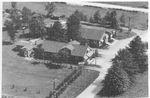
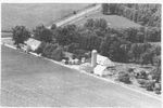
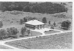
These
aerial photos were published in a book, "This is
Newton County, Indiana" by John Drury, published by the Loree Company,
Chicago. iin 1955. It was No. 1 in "The American Aerial County History
Series
Indiana" We have included the businesses, schools and government
buildings published in the book. All of the farms at the time were also
photographed, be we did not include those here. Check with your local
library about viewing the original book. Do you have a history on any
of these photos? Please send them to the
Newton County Coordinator - and we'll add them to the site
for future visitors!
View all 1955 photos here!
Luke's Bakery Diana
Hunt Club Colfax School
Beaver Township
Historical photographs from Morocco and community. To view Morocco High School information click here.
Lake Township
Historical photographs from Conrad, Lake Village and Sumava and surrounding community.
Lincoln Township
Historical photographs from Roselawn, Thayer and surrounding community.
Iroquois Township
Historical photographs from Brook, Foresman and surrounding communitiy.
Jefferson Township
Historical photographs from Kentland and surrounding community.
McClellan Township
Historical photographs from Enos and the surrounding community.
Jackson Township
Historical photographs from Mt. Ayr and the surrounding community.
Washington Township
Historical photographs from Ade and the surrounding community.
Colfax Township
Historical photographs from Colfax Township.
Grant Township
Historical photographs from Goodland and the surrounding community.
Newton County School Photographs
Please send these photos to the Newton County Coordinator with source, location, names and any other memories, etc.
Beaver Lake and
Bogus Island
Beaver
Lake (also referred to as Big Lake) was an area of
open water 16,000 acres.
Free of rush and
reeds, 8-9 ft. deep at the most with clear waters. The southern line
was
indented with numerous arms and inlets. See the 2006 Map of Newton
County for
an outline of the Beaver Lake shores. It’s most-westward
point in McClellan
Township the east portion of Section 13; and most-eastward point in
Colfax
Township the east portion of Section 18; most northward point in Lake
Township,
Sections 33 and 34; most southward point in McClellan Township, Section
22. To read more about Beaver Lake and Bogus Island, click here.
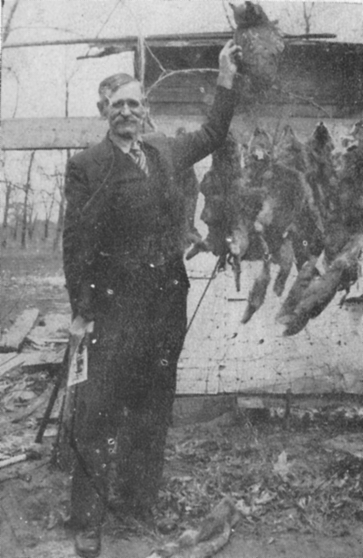
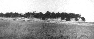
Pictured at the right is Alexander "Kankakee Ned" Barker
and left, Bogus Island. To learn more about Ned and his family,
read and view photographs in the Spring/Summer/Fall 2010
edition of The Newcomer.
Looking for more info on Beaver Lake and Bogus Island? The
Family History Division has republished three books on the subject.
Click here for ordering information.
The Newton County Public Library has created a bookmarking service for Beaver Lake and Bogus Island resources
available online. You can use this bookmarking feature at www.newton.lib.in.us, and click on "May
We Recommend!"
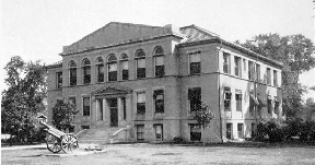
First Courthouse then
Benton-Newton-Jasper
Second Newton
Courthouse, Kentland, IN
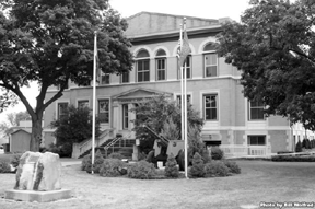
until 1906 Third Newton Courthouse, Kentland, IN,
photo in
1940 Present Day Newton County
Courthouse, 2008
Newton
County Courthouse Celebrated 100 Years in
2006
Click here
to a link to the Newton County Historical Society's newsletter of
Summer, 2006 that has the complete history of the courthouse, written
by Jim Robbins. This is a pdf file, and it may take some time to
download.
