Beaver Lake
Facts from Beaver Lake, Land of Enchantment, Elmore Barce,
1938
In the Summer of 1937 Mr. Barce sat with Alexander Lanier Bark at
his cabin, located today where Rafferty Ranch was located. Just at the edge of Beaver Lake.
Copies of this book are available from the Newton County Historical Society.

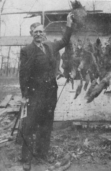
Mr. "Ned" Barker with his pet owl "Hoot." Mr. Barker gave many presentations to the area schools, accompanied by his friend.
- Beaver Lake was located in McClellan Township. Bogus Island was in Section
16.
- Southern extremity was just north of Oakland Cemetery.
- Continue north passing over the lakebed 7.5 miles to the
former Conrad Station.
- Approximately 10 miles wide, from the Ellis Slough on the
west and north to the center of Range 8 located in Colfax Township.
- Total Beaver Lake country was 36,000 acres of land.
- Beaver Lake (also referred to as Big Lake) was an area of
open water 16,000 acres.
- Free of rush and reeds, 8-9 ft. deep at the most with clear
waters. The southern line was indented with numerous arms and inlets. See the
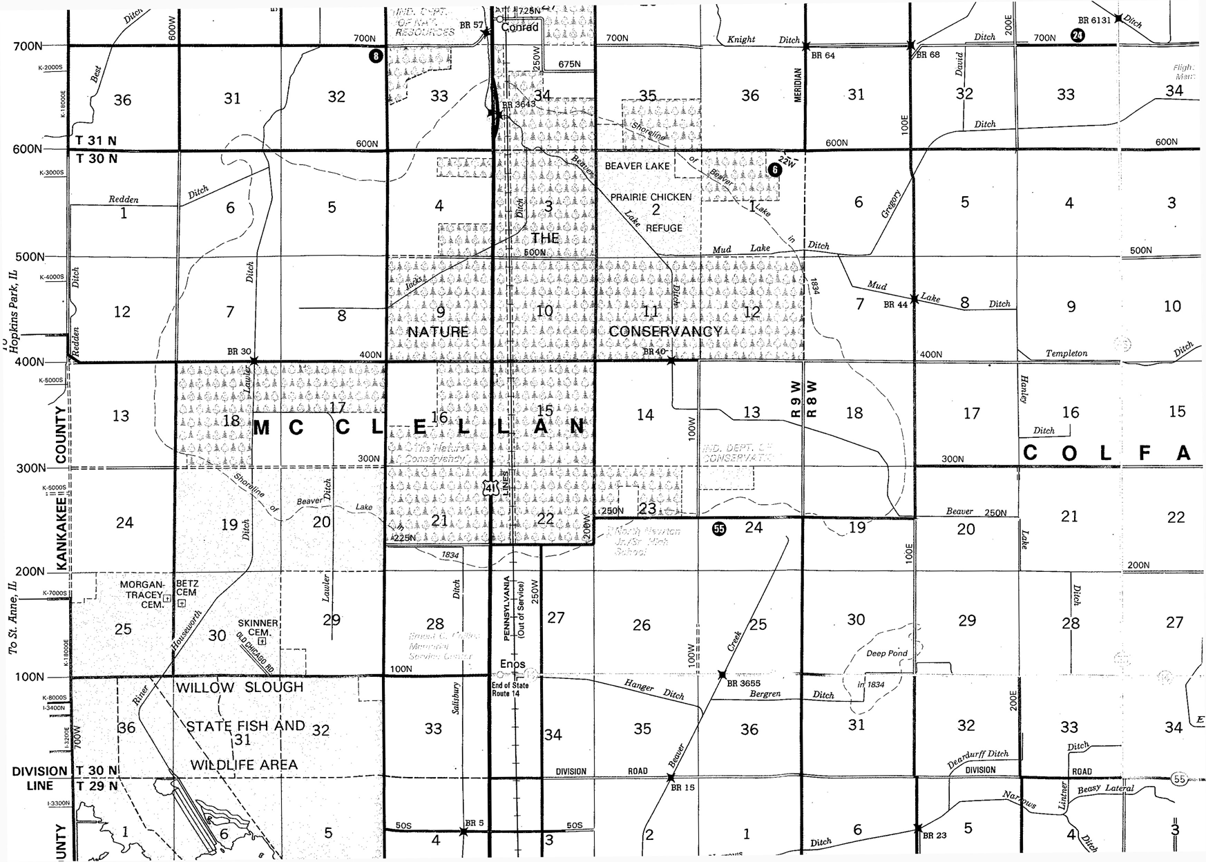
2006 Map of Newton County for an outline of the Beaver Lake shores. It’s
most-westward point in McClellan Township the east portion of Section 13; and
most-eastward point in Colfax Township the east portion of Section 18; most
northward point in Lake Township, Sections 33 and 34; most southward point in
McClellan Township, Section 22.

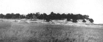
Bogus Island
- It obtained its name by its occupation by horse thieves and
counterfeiters.
- Located in McClellan Township, Section 16, 2.10 miles north of Enos, ½ mile west
of 41, it faced southeast.
- Formed by the waves and winds of Beaver Lake, it covered
40-50 acres. The perpendicular southeast precipice was 75’ high.
- The cave of the horse thieves and counterfeiters was located
on the northwest end of the island, which was 13 acres. 25’ to 35’ high on the
north-northeast end and sloped south to the southwest. It could be approached
from the northwest via sandbars.
- Stolen horses were brought here for preparation to sell.
Hair dye and paint was used to disguise their coats. The heavier horses were
shipped to the north to Michigan and Wisconsin; smaller faster horses were sent
to the East.
- Thieves began using the island in the 1830’s, and began
passing Bogus coins in the vicinity of Iroquois (Bunkum) and points south in
1839.
- The first attempt to clear the island of its inhabitants
began about 1839, with the capture of three men. They and their equipment was
taken to the home of Jacob Troup, and tried by Wesley Spitler, the Justice of
the Peace. They were bound over to the court, which was in Williamsport, one
man Crane managed to escape; the other two were taken by sheriff’s posse but
were never tried.
- After this raid, they began to use the island again until
1858.
- In 1857, a group of vigilantes called The Jasper County Rangers
made a plan to eradicate the bandits, but the plans were not carried out.
- A horse that was stolen from Milford, Illinois was found at
a house a little east of what is now known as Conrad Station. It was the home
of William Shaffer, a well-known thief of the area. He ran from the posse, and
attempted to jump the ditch between Beaver Lake and the Kankakee River, and he
was shot and killed.
- This action struck terror into the Bogus Island thieves and they
left the island. This was discovered soon after Shaffer’s death by another raid
on the island. The thieves had left guns, saddles, ammo, bogus coins and
equipment behind.
The Children of the Place of the Fire – the Potawatomi Indians
Inhabited the Beaver Lake Country from 1850-1883. They were
known to be peaceful and friendly neighbors to the hunters, trappers and
settlers in our area.
Other Landmarks in Beaver Lake Country – there
may be others not listed here.
- Eagles Nest Ridge – an island 2 ½ miles east of Enos,
2-3 acres rising about 25’ above sea level. About 2 ½ miles south of Little
Lake.
- Bald Knob –
an island 2 miles east and ½ mile north of Enos. Not a tree or vine
covered the area. In the time of the Zoborosky family (1857) it was covered by
short poles of young oak and known as Pole Grove. It is short distance
from Eagles Nest Ridge.
- Cherry Island – located near Bogus Island.
- Black Marsh – 3 miles south of Roselawn.
The Draining of the Lake
- The State of Indiana had most of the holdings of the swamp
lands in the state, and the Swamp Act Law of 1852 provided the mechanism
enabling the State to sell the swamp lands, with the proceeds used to drain the
swamps.
- In 1853, Austin M. Puett was awarded a contract to cut a
drainage ditch. Puett was the grandfather of Judge William Darroch.
- There wasn’t an outlet for Beaver Lake, and the over flowed
into Beaver Creek.
- Beaver Lake was about 35’ higher in elevation than the
Kankakee River at its nearest point, which was 4 ½ miles from the lake.
- Puett dug at the northwest corner, lowering the lake and
left a band of shoreline about 100 yards wide as the lake receded.
- In 1869 heavy rains and flooding resulted in the enlarging
the original ditch, and settlers dug additional tributaries and ditches. After
the flooding subsided there was an increase of drainage of the lake.
- By 1871, ¾ of the lakebed had been drained, from 16,000
acres to 4,000.
- By 1880, the lake was gone.

2006 Newton County Map - the dotted line depicts the old Beaver Lake bed


