|
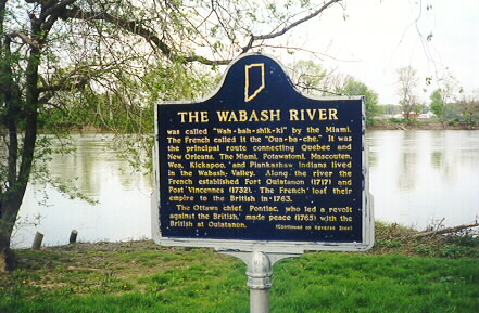
Marker Reads:
was called "Wah-bah-shik-ki" by the Miami.
The French called it the "Oua-ba-che." It
was the principal route connecting Quebec and New
Orleans. The Miami, Potawatomi, Mascouten,
Wea, Kickapoo, and Plankashaw Indians lived in the
Wabash Valley. Along the river the French
established Fort Ouiatenon (1717) and Post
Vincennes (1732). The French lost their
empire to the British in 1763.
The Ottawa chief, Pontiac, who led a revolt against the British, made peace (1765) with the British at Ouiatenon. During the American Revolution George Rogers Clark seized Vincennes and Ouiatenon from the British. In 1778, Lt. Governor Henry Hamilton moved a force of 350 soldiers and Indians to Vincennes by the Wabash route. Clark captured his command in February of 1779. In the 19th century both flatboats and steamboats used the Wabash. By 1852 the Wabash and Erie Canal linked the Great Lakes with the Ohio. The Wabash has been a major highway for travel, trade and settlement for two centuries. In song and in story it symbolizes Indiana. Erected by the Indiana Historical Society 1973. Marker is located at Mascouten Park on State Road 43 North in West Lafayette, Indiana, Wabash Township. |
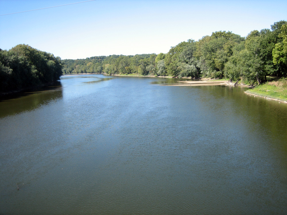
The Wabash River
©1998-2014
Tippecanoe County INGenWeb Project
All rights reserved