|
Site Updated December 28, 2012
Please
do not copy off of this site unto another public site,
without at least
showing the courtesy of asking for permission.
Starting on Memorial Day weekend
2012, Russell Hapke went out and photographed all visible stones in the
cemetery. Some of the older ones read several decades ago, have become
illegible due to weathering. There was also evidence of a few stones
broke off at the base and no longer in existance. They are indicated
with a no under photo
available collumn. Russ also took photos of many of family burial lots and rows
so those who may visit the cemetery at a later date, will have a visual
aid of where to look for these final resting places of our loved ones. This was a huge undertaking.
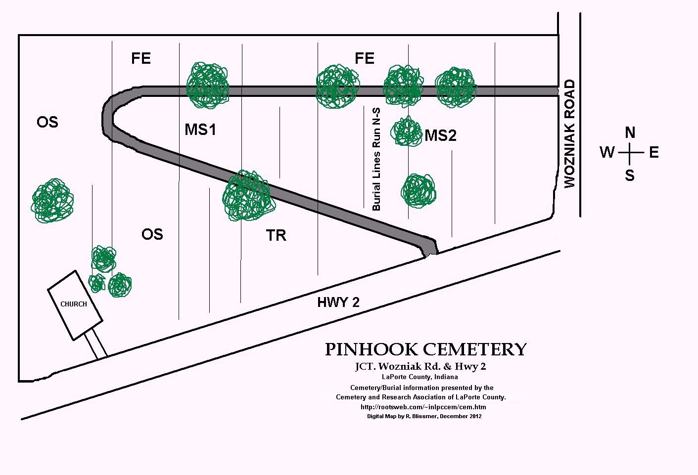
An aerial
map at the bottom of the page shows an
overview with all five photographed areas - broken down into
photographed sections:
OS=Oldest section located North and East side of church.
TR=Triangle shape burial area between middle section and Hwy 2
FE=Fence row area by agricultural field and North of Middle
Section
MS1=Middle Section = inside loop starting at West to East ending
by tree group (inside loop shown on map)
MS2=Middle Section = inside loop starting by Old Well going East to
Wozniak Rd (inside loop shown on map)
Brief History
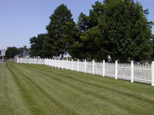
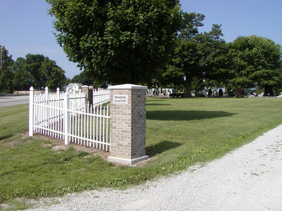
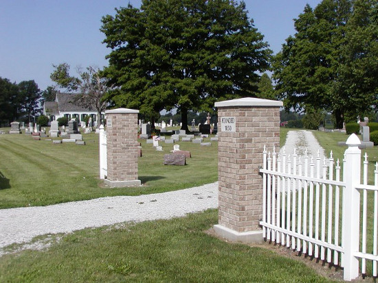
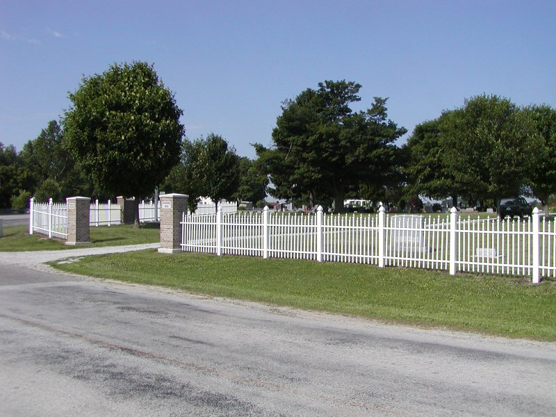
Pinhook Cemetery sits on the corner of State Road
Hwy 2 and North Wozniak Road with entrances off of both roards.
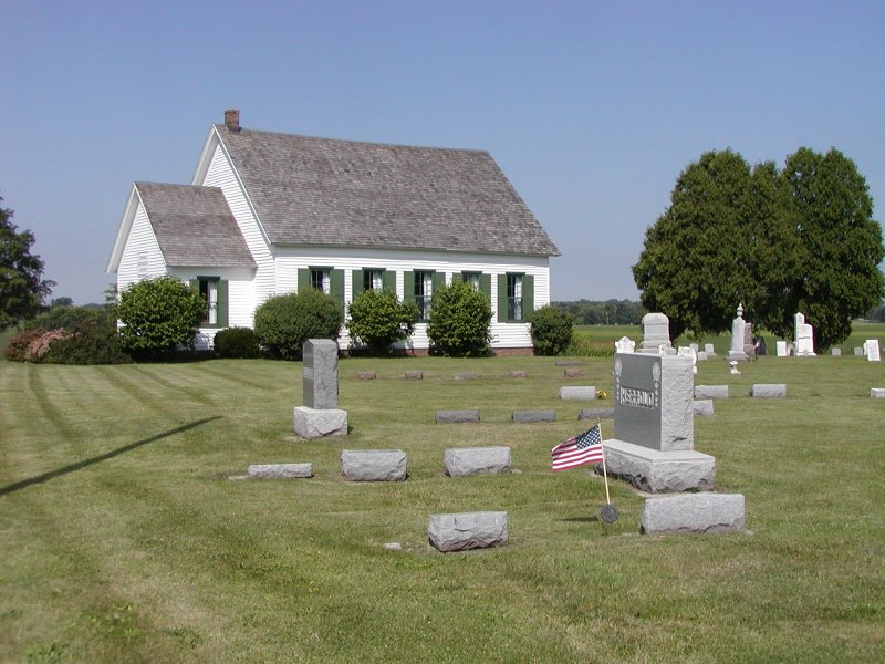
This quaint cemetery gives the impression of stepping back in time;
with the historic Pinhook Methodist Church meticulously brought back to
all its past glory.
Around 1987 Julia Alt and Phyllis Marks, along with their husbands
Vernon and Tom, spearheaded a drive to restore the Pinhook Church and
an open house was held on Memorial Day in 1987 so people could see the
deteriorated condition and discuss plans for renovation. Then in
1988 another open house was hosted to show the restoration in progress.
In 1989 a Renovation Celebration took place, again on Memorial Day. The
church sits adjacent to the cemetery where many of the settlers of the
Pinhook area are buried. The oldest portion of the cemetery is directly
behind and also East side of the church. There was once an Indian
trail positioned next to Pinhook Cemetery. Familiar surnames such as
Herrold, Miller, Welch and Norris along with other families are among
the burials.
Levi Garwood donated the land for the
construction of Pinhook Community Methodist Church in 1846.
In earlier readings, the oldest burial per stone record
appears to be Ugene Davis, age 3 mo. 12 da., he died May 6, 1850.
The Pinhook Church which was built as a Methodist Church in 1847 but
has served several different denominations including
a Baptist congregation. It later moved to a new church just two miles west on
Indiana 2 at its junction with US 421 in the mid 1960's.
Then a few years later the small little white
church was used by a small informal group that called itself the Pinhook
Community Church.
When no one seemed to want it for a church anymore,
the national Methodist confederation deeded the church to the Pinhook
Cemetery Board in 1968. The cemetery is kept in immaculate condition as
far as mowing and keeping debris clear of graves along with
improvements.
Veterans - Pinhook Cemetery
War of 1812 - John Glass see burial listing. Civil War = 20 burials; WW
I = 18 burials, WW II = 20 burials, Vietnam = 1 burial Korean War = 2
burials as of this reading done in the 1990's. And as of 2012 more
veteran burials have occurred from WWII and later
conflicts.
Pinhook Burials A to M
Surnames
Pinhook Burials N to Z Surnames & Later Supplement
|
