
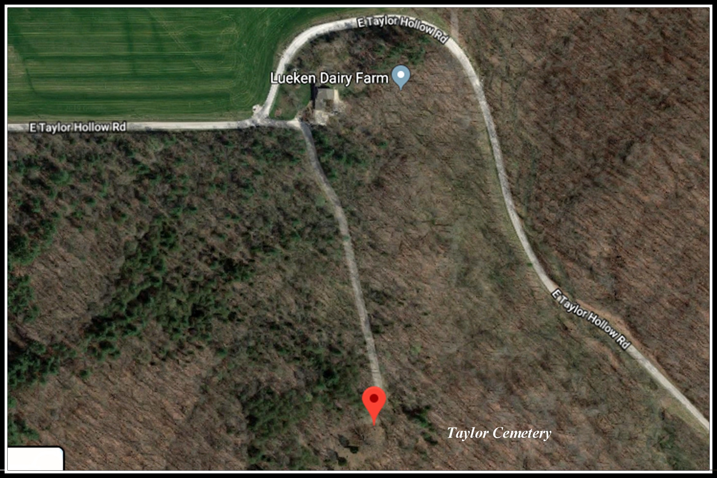
| Taylor Cemetery T3S R3W Section 11 NW 1/4 of SW 1/4 38°16’03.6”N 86°42’47.1"W UTM 16 165298E 4235552N From
Interstate 64 take Indiana 145 North 3-2/10 miles, turn left (West)
onto CR 770S (Taylor Hollow Rd.) proceed 1-2/10 miles to top of hill,
turn left (East) into private drive, turn right at first lane. 1 acre.
Deed Book 129 page 342 15 Aug 1958 |
 |