
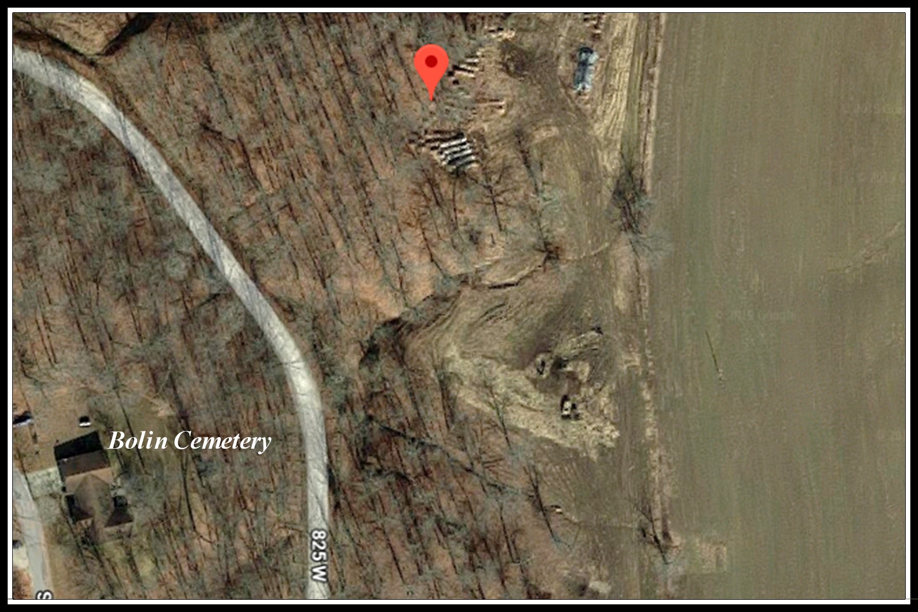
| Bolin Cemetery T2S R6W Section 34 SW 1/4 of SW 1/4 of SE 1/4 38°17’27.1”N 87°03’47.1”W UTM 16 494483E 4238089N From
the intersection of Indiana 161 and Indiana 64, proceed West for 1-1/2
mile to CR 850 W, turn Left (South) and go 9/10 mile to CR 825 W, turn
left (East) and proceed 4/10 mile to near top of hill. Cemetery is to
the left (East) about 200 feet in a wooded area, 40 feet Southeast of a
survey marker.
No access road. Deed book 75 page 403, 12 Oct 1916 |
 |